WhoGIS Home

Category

Location Intelligence & Data Privacy

12 articles

Looking Past the Pavement: The Case for Maps That Zoom Out

Looking Past the Pavement: The Case for Maps That Zoom Out

The geospatial industry has perfected the hyper-local view, but something is lost when every analysis stops at the parcel line. An argument for restoring the small-scale map — and for teaching a new generation of analysts to think at scale.

Deliberately Dark: The Security Redactions Quietly Hollowing Out America's Public Infrastructure Maps

Deliberately Dark: The Security Redactions Quietly Hollowing Out America's Public Infrastructure Maps

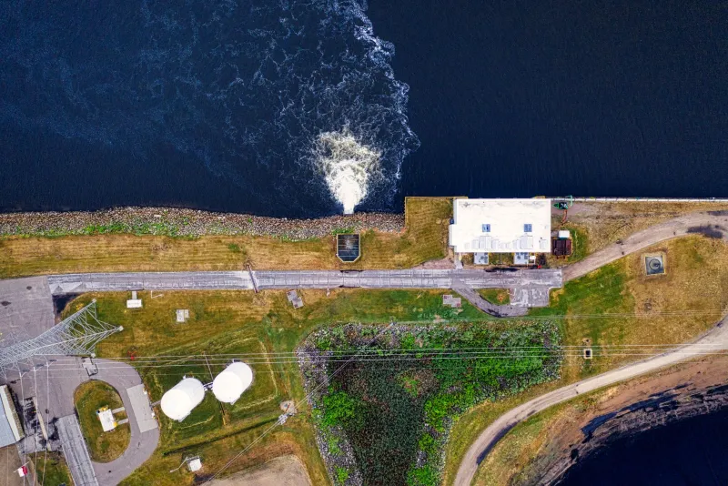
Across America's publicly accessible GIS databases, thousands of critical infrastructure sites — power stations, water treatment plants, telecommunications hubs — exist as deliberate voids. The tension between cartographic transparency and national security is forcing GIS professionals to navigate one of the most consequential dilemmas in modern mapping, with real costs for the emergency responders who depend on complete spatial data.

Signal Without Substance: Why GPS Saturation Is Hiding America's True Mapping Gaps

Signal Without Substance: Why GPS Saturation Is Hiding America's True Mapping Gaps

The proliferation of consumer GPS and smartphone location services has given policymakers and planners a dangerous confidence in the completeness of geographic data. Yet vast categories of spatial reality—informal economies, undocumented structures, and off-grid communities—remain systematically absent from standard mapping systems. GIS professionals warn that mistaking signal density for geographic knowledge carries measurable real-world consequences.

Unmapped and Underserved: How GIS Is Exposing America's Invisible Neighborhoods

Unmapped and Underserved: How GIS Is Exposing America's Invisible Neighborhoods

Across the United States, entire neighborhoods exist in a state of geographic limbo — present on the ground but absent from the digital systems that govern service delivery, federal funding, and civic representation. GIS analysts are now deploying layered spatial analysis to identify these administrative blind spots and quantify the consequences for the communities left behind. What they are finding challenges fundamental assumptions about how well America actually knows itself.

Mapped Injustice: How Geospatial Tools Are Exposing Environmental Inequity in American Communities

Mapped Injustice: How Geospatial Tools Are Exposing Environmental Inequity in American Communities

Across the United States, GIS analysis is revealing a troubling pattern: toxic facilities, industrial corridors, and pollution pathways cluster with startling consistency near low-income neighborhoods and communities of color. While these tools have energized grassroots accountability movements, significant gaps in spatial datasets continue to obscure the full scope of environmental harm. This article examines where the maps succeed, where they fall short, and what is at stake for the communitie

Too Much Detail: How Hyper-Precise Mapping Is Leaving Some American Communities Exposed

Too Much Detail: How Hyper-Precise Mapping Is Leaving Some American Communities Exposed

As geospatial data collection reaches unprecedented levels of granularity, a troubling pattern is emerging across American cities and towns: the very precision that makes modern GIS so powerful is also creating new vulnerabilities for residents who never consented to being mapped. Privacy advocates, GIS professionals, and community organizers are raising alarms about who benefits from hyper-accurate location intelligence — and who bears its costs.

Drawing the Lines: How GIS Analysis Is Exposing Electoral Inequity Across America

Drawing the Lines: How GIS Analysis Is Exposing Electoral Inequity Across America

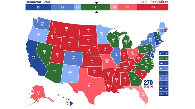
Geographic information systems have become a powerful instrument in the ongoing debate over fair elections in the United States. From identifying suspiciously contorted congressional districts to mapping gaps in polling place access, spatial analysis is giving advocates, academics, and election officials new tools to scrutinize the geography of democracy.

When Every Second Counts: Real-Time Geospatial Intelligence and the Future of American Disaster Response

When Every Second Counts: Real-Time Geospatial Intelligence and the Future of American Disaster Response

Modern disaster response has been fundamentally transformed by geographic information systems, shifting emergency management from reactive coordination to anticipatory, data-driven decision-making. From hurricane evacuation corridors in the Gulf Coast to wildfire perimeter tracking in the Western United States, real-time GIS layers are now central to how first responders protect lives and allocate resources under crisis conditions. This feature examines the technologies, workflows, and human exp

Choosing Your Mapping Stack: A Practical Guide to Open Source and Enterprise GIS Platforms

Choosing Your Mapping Stack: A Practical Guide to Open Source and Enterprise GIS Platforms

Selecting the right GIS platform is one of the most consequential technology decisions an organization can make. This guide breaks down the key trade-offs between open source solutions like QGIS and enterprise systems like Esri's ArcGIS, helping businesses, nonprofits, and government agencies identify the mapping stack that best fits their budget, technical capacity, and mission.

Your Location Is Showing: The Rise of Spatial Intelligence and What Every American Needs to Know

Your Location Is Showing: The Rise of Spatial Intelligence and What Every American Needs to Know

Location data has quietly become one of the most powerful and pervasive forces shaping American life—influencing where businesses open, how insurers price risk, and what policymakers decide. Yet most Americans have little awareness of how their geographic information is collected, analyzed, and used. In an era defined by data, geographic literacy may be the literacy we can least afford to neglect.